Guilin Karst: Learn What the Peaks Tell You About the Landscape
The Guilin area is famous for dramatic limestone forms, but a landscape visit can do more than reproduce a familiar river photograph. Distinguishing groups of connected peaks from isolated towers gives your looking a purpose and helps you compare viewpoints without chasing a single supposedly essential image.
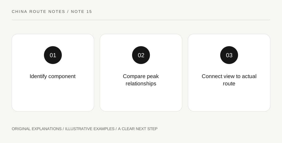
Original explanatory diagram. Read the full method and limitations below.
Place Guilin within the larger heritage property
South China Karst is a serial UNESCO property containing geographically separate components, not one park with a single entrance. Its Guilin component includes both tower and cone karst formations associated with the Lijiang landscape. Start your map with the particular place and service you intend to visit rather than the entire property name. A ticket to one river section or managed attraction does not establish access to every karst component in the country. This is also why a description of stone forests or giant collapse depressions elsewhere should not be applied indiscriminately to every scene near Guilin.
Compare the shapes rather than memorizing labels
At an authorized viewpoint, look for whether peaks rise separately above the lower landscape or form more closely connected groups. Record what can be seen from that position without trying to classify every hill with certainty. A distant view compresses depth, and overlapping towers may appear joined. Use reliable local interpretation to add the appropriate geomorphological terms. The learning goal is understanding that landforms have relationships and development histories, not awarding yourself a perfect classification score. A simple sketch can show the difference between what you observe directly and what you infer from the outline.
Treat a boat route as a transport product
If your visit includes a river service, check the exact embarkation and landing locations, duration, luggage arrangements and return connection with its operator. A poetic description of cruising from one town to another can conceal a road transfer at either end. Determine whether you are booking a full cruise, short scenic ride or another type of craft. Do not assume a boat advertised with a photograph of a famous reach covers that entire landscape. Weather and water conditions can affect operation; use the provider’s current information and local instructions rather than treating an old travel account as a schedule.
Give one land viewpoint a different job
Combine a permitted ground-level view with the river experience if the available route makes sense. From land, you may have more time to compare foreground fields, settlements and peak outlines; from a moving boat, the sequence of views becomes the subject. Keep both observations within lawful public access and avoid entering cultivated land or private premises for an angle. If conditions cancel the water segment, the land visit can still teach something about the landscape. Record the place, direction and conditions so later comparisons do not confuse two different viewpoints simply because both contain impressive peaks.
Illustrative landscape comparison
A visitor draws two authorized views: one with apparently separate towers behind a lower foreground, another with a dense group of peaks. The notes say what is visibly connected and what remains unclear because of overlap. Local interpretation supplies the relevant terms. The visitor then compares those notes with the changing river sequence rather than demanding one identical photograph.
Practical checks
Optional checkboxes save only in this browser.
Questions that come up
Is South China Karst a single attraction near Guilin?
No. It is a serial heritage property containing distinct components across several areas. Identify the particular component and operator relevant to your journey.
Does a river photograph show what my booked boat covers?
Not necessarily. Verify the actual route, boarding location, landing and service type. Promotional imagery can illustrate a region without documenting every segment of a particular product.
References and scope
These sources support the factual background. Examples and exercises are original illustrative teaching material. References do not imply endorsement.
- UNESCO: South China Karst — Serial karst landscape, component distinctions including Guilin.